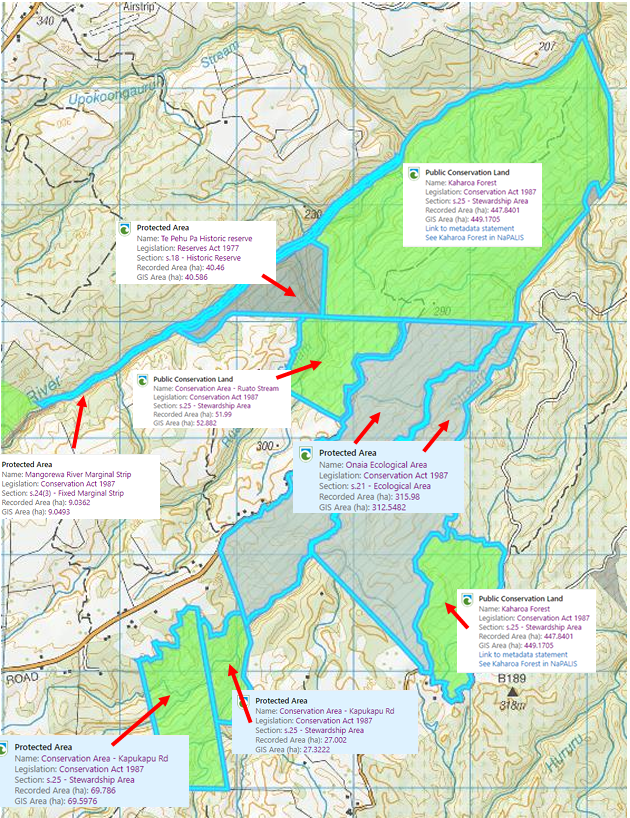
Kaharoa Conservation Area
Our activities are focused around the Kaharoa Conservation Area. It is:
952 hectares in size.
Situated 30km northeast of Rotorua at the northern end of the Kaharoa Plateau.
Accessible via Kaharoa Road (which can be reached from State Highway 36) and Kapukapu Road.
Between 200-300m above sea level.
Bordered by the Paraiti River gorge on the northwest side and has a northerly aspect.
Public conservation land administered by the DoC, with the conservation activities carried out by the Kaharoa Kōkako Trust.
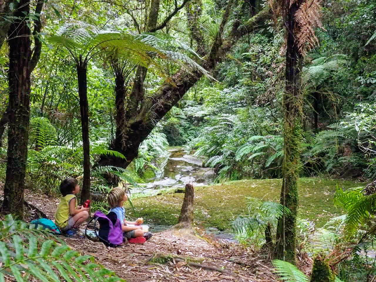
Cloaked by diverse, mature and recovering native forest cover.
The Ruato and Onaia Streams run through the area, with the Onaia Stream separating access (via a gorge system) between the Onaia West and East blocks.
Here’s a map showing what’s included in the Kaharoa Conservation Area: